Predictive Services

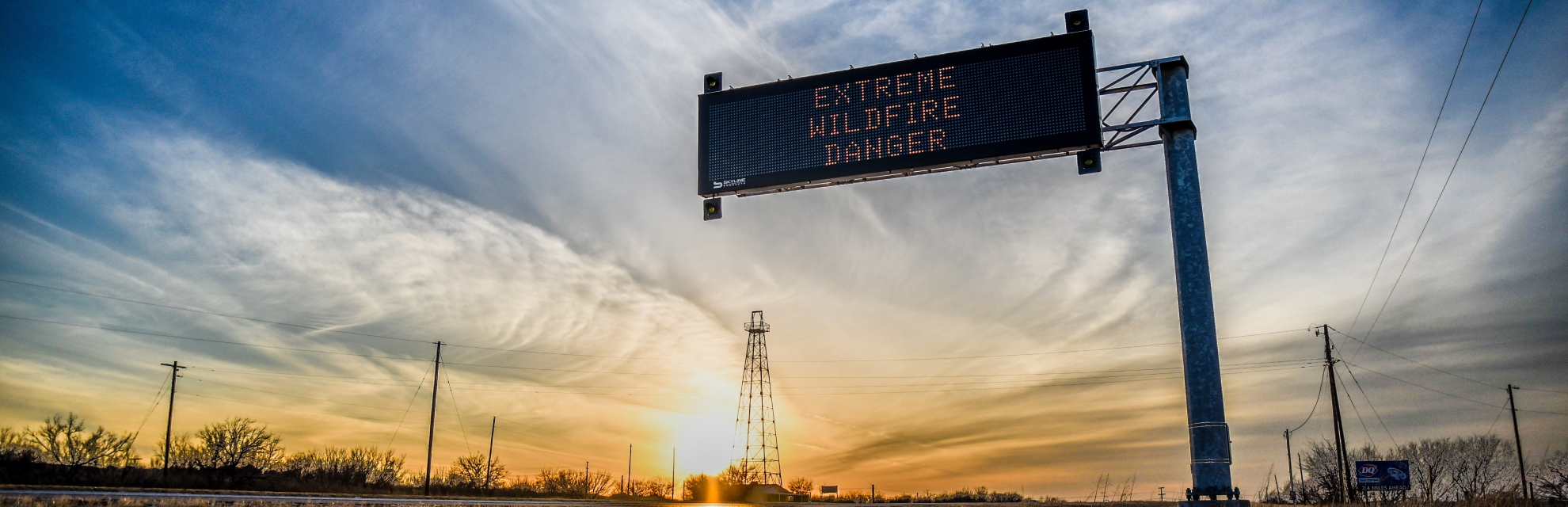
The Predictive Services Department is responsible for the scientific assessment of environmental conditions across the state as it relates to wildfire risk, wildfire danger and drought from data collected through live fuel moisture sampling and weather data collected from Remote Automatic Weather Stations.
Following the 1998 fire season, Texas A&M Forest Service established a Predictive Services Department to provide short- and long-term forecasts and analyses. This was based on increased need and reliance on these products by Texas A&M Forest Service and by other state and local entities. It also satisfies legislative requirements for the agency to provide drought-determination information for county government as part of fireworks restrictions and burn bans, which were in response to House Bill 2049 in 1997 and House Bill 2620 in 1999, respectively. Texas A&M Forest Service was the first land management agency in the nation to dedicate full-time personnel and resources to a Predictive Services unit.
Department staff develop daily, weekly and seasonal forecasts, as needed, to assist state and local government entities in preparing for and responding to periods of elevated fire danger. This information is made available to state and local cooperators as well as the public.
The Predictive Services Department also provides several decision support products to the Texas Division of Emergency Management for state and federal disaster declarations, activation of the state emergency response plan and the activation of other state and federal agency fire suppression and support resources. Fire behavior information is also provided to support federal Fire Management Assistance Grant (FMAG) requests seeking FEMA declarations on individual wildfires.
Texas A&M Forest Service Predictive Services is a member of a national community of state and federal predictive services units, and the department maintains a cooperative relationship with these agencies. Efforts include the exchange of information and alerts on existing and expected fire danger. The department is a founding member of the Southern Great Plains Wildfire Outbreak (SPWO) group, which is a collaborative effort between the National Weather Service, the Texas A&M Forest Service Predictive Services Department and Oklahoma Forestry Services. The group identifies and forecasts fire environments and triggers that support dangerous wildfire outbreaks.